
Handheld LiDAR Scanners for Fast, Accurate 3D Mapping
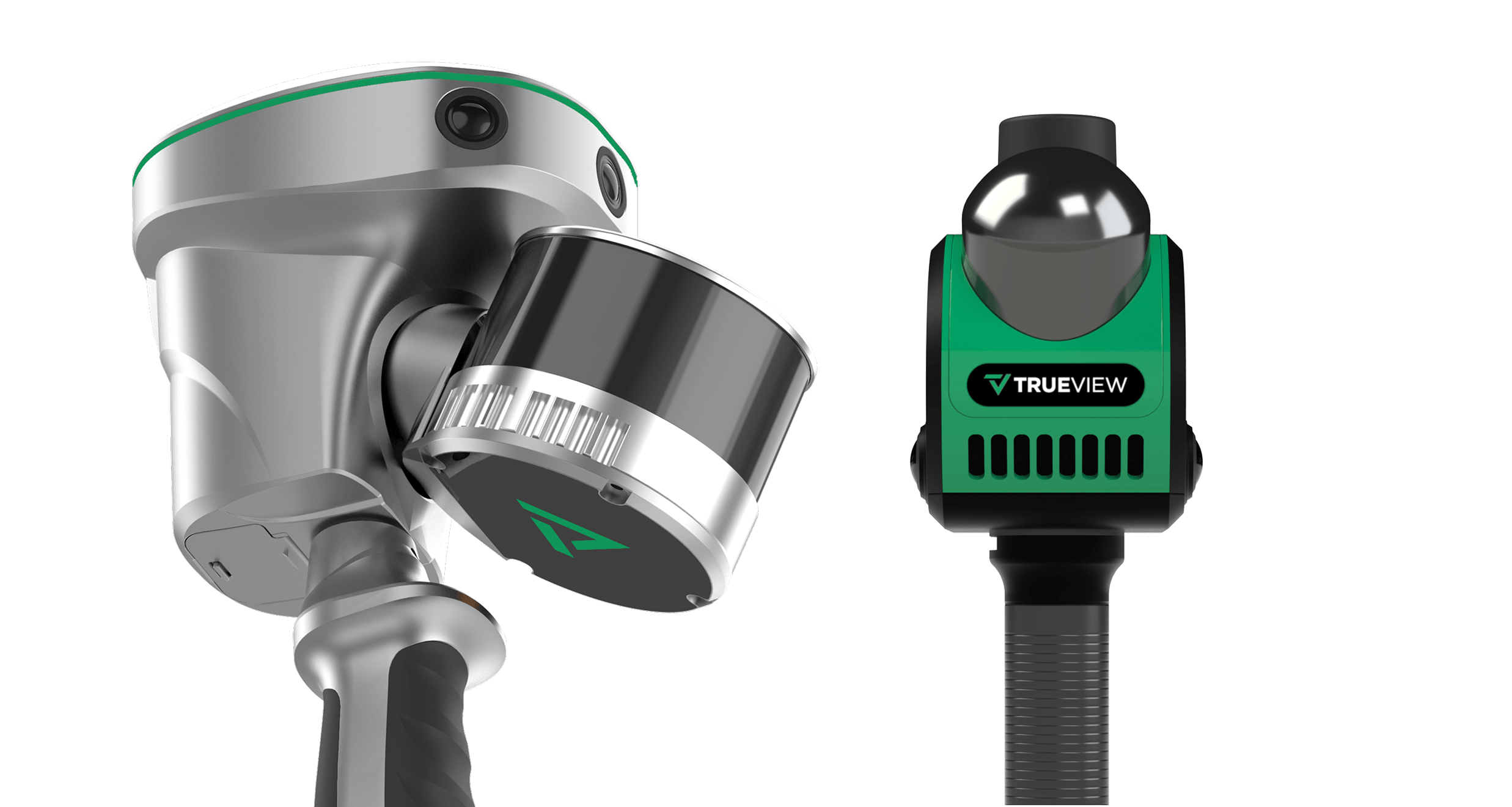
Explore More With TrueView GO: Now Offering Handheld Scanning in Three Versions, NEO, 116S and 132S
Handheld Mapping Sensors
- Indoor mapping and portable reality capture
- Accessible entry point for indoor workflows
- Building documentation, facility mapping, construction interiors, digital twins
- Professional outdoor and mixed environment mapping
- Strong fit for professional field teams
- Infrastructure, site documentation, utilities, corridor and asset mapping
- Higher density outdoor mapping for demanding projects
- Built for projects that need more detail and performance headroom
- Complex sites, higher detail outdoor projects, demanding infrastructure capture
What Is a Handheld LiDAR Scanner?
A handheld LiDAR scanner is a mobile 3D mapping system that captures spatial data while the operator walks through a site. Instead of collecting from a fixed position like a terrestrial scanner, a handheld SLAM scanner maps the environment continuously and estimates its position as it moves. That makes it a strong fit for projects where mobility, speed, and flexibility are essential.
Handheld LiDAR is especially useful for connected interiors, industrial facilities, corridors, multi room environments, and mixed indoor and outdoor projects. GeoCue TrueView GO systems extend that workflow with integrated imaging, advanced positioning, and LP360 processing so users can move from capture to deliverables without piecing together disconnected tools.
Why Use Handheld LiDAR for 3D Mapping?
Handheld LiDAR helps teams collect more data in less time without the slower setup requirements of fixed scanning workflows. Because the operator can move naturally through the project area, it is often the faster option for large interiors, connected spaces, utility areas, and active job sites.
The TrueView GO portfolio is designed to make mobile reality capture practical for everyday work. Integrated LiDAR, cameras, and positioning simplify field operations, while LP360 supports processing, review, editing, analysis, and deliverable creation back in the office.
Speed
Capture large or complex spaces quickly while walking the site.
Mobility
Move through interiors, outdoor sites, corridors, plants, and hard to access environments with one portable system.
Accuracy
Use SLAM and advanced positioning technologies to support dependable project results.
Efficiency
Work within a connected hardware and software ecosystem from field collection to final output.
Comparing TrueView GO Handheld LiDAR and SLAM Data
See How Data Quality Compares Across the Portfolio
The TrueView GO portfolio is built to match different handheld mapping needs, and these ground target comparison images help show how the data varies across the lineup. In these examples, the NEO provides solid target visibility for indoor-style workflows and general documentation, the 116S delivers stronger clarity and definition, and the 132S offers the highest point density and the most refined target detail of the three.
RGB
Intensity
TrueView GO NEO
Optimized for fast, efficient indoor capture with the density needed for floor plans, interior spaces, and building documentation.
TrueView GO 116S
A flexible all-around performer built to handle a broad range of outdoor and mixed-environment mapping applications.
TrueView GO 132S
Designed for maximum detail, delivering higher point density and stronger definition on fine features and complex outdoor scenes.
Handheld LiDAR Applications
What Makes TrueView GO a Complete Handheld LiDAR Solution
From indoor SLAM mapping to outdoor georeferenced workflows, the TrueView GO portfolio gives users the tools to capture accurate 3D data faster, work more efficiently in the field, and move from collection to deliverables with a connected LP360 workflow.
Complete handheld LiDAR portfolio for different project needs
Indoor and outdoor mapping solutions in one product family
Integrated LP360 workflow from capture to deliverables
Fast reality capture for complex and connected environments
Survey grade LiDAR, imaging, and positioning technologies
Strong SLAM performance for indoor mapping workflows
GNSS enabled options for outdoor georeferenced projects
Built in imaging for colorized point clouds and visual context
Simplified field operation with efficient mobile capture
Handheld LiDAR vs Drone LiDAR vs Terrestrial Scanning
Handheld LiDAR, drone LiDAR, and terrestrial laser scanning each play an important role in reality capture, but they are designed for very different types of environments and project needs. Choosing the right mapping method depends on the size of the site, required accuracy, level of detail, accessibility, and how quickly the data must be collected and delivered. In many cases, the best results come from understanding where each technology performs best.
Drone LiDAR is ideal for covering large outdoor areas quickly. It is commonly used for topographic mapping, corridor mapping, construction progress, stockpile measurement, forestry, and surveying projects where speed and wide area coverage are essential. A drone can efficiently capture terrain, vegetation, and surface conditions from above, making it a strong choice for expansive or hard to reach areas.
Terrestrial laser scanning is often preferred when the highest level of static detail and precision is needed from a fixed position. This method works well for building documentation, industrial facilities, heritage preservation, and forensic scenes where users need dense point clouds and highly controlled scan setups. However, terrestrial scanning can be slower because it typically requires multiple setups, targets, registration steps, and more time in the field.
Handheld SLAM LiDAR offers a different advantage. It allows operators to walk through a site and capture data continuously, making it especially useful for indoor mapping, complex structures, tight spaces, under-canopy areas, and locations where tripods or drone flights are not practical. Handheld mapping is fast, flexible, and efficient for capturing buildings, campuses, infrastructure, tunnels, public safety scenes, and other real-world environments.
For many geospatial professionals, handheld SLAM LiDAR fills the gap between terrestrial scanning and drone mapping. It combines mobility, speed, and ease of use, giving users a practical way to capture accurate 3D data on foot when airborne or static collection methods alone are not enough.
Best Fit
Indoor spaces and mixed environments
Strength
Fast walk through capture with high mobility
Typical Use
Interiors, digital twins, scan to BIM, asset documentation
Best Fit
Large area aerial mapping
Strength
Efficient overhead coverage
Typical Use
Topography, corridors, broad site conditions
Best Fit
Fixed position high detail work
Strength
Dense static detail from set scan positions
Typical Use
Architecture, heritage, detailed stationary documentation