

Secure Your LiDAR Workflow from Sensor to Software
Keep control of your data. Know your technology. Trust your supply chain.
For organizations working with sensitive data, critical infrastructure or secure environments, knowing where your technology comes from matters.
GeoCue’s Supply Chain Secured Technology (SCST) designation identifies TrueView LiDAR solutions built around a trusted technology ecosystem, from the LiDAR sensor and cameras to GNSS/INS positioning and LP360 processing software.
For customers outside the United States, SCST provides a clear way to identify the same supply-chain security principles behind GeoCue’s U.S. NDAA-compliant TrueView portfolio,without relying on U.S.-specific procurement terminology.
Complete the form to learn more about GeoCue’s Supply Chain Secured Technology portfolio and find the right TrueView solution for your application.
What Is Supply Chain Secured Technology?
Supply Chain Secured Technology goes beyond a single component.
GeoCue evaluates the critical technologies throughout the TrueView workflow to provide customers with greater transparency and confidence in the systems collecting, positioning, processing and managing their geospatial data.
SCST solutions are built around trusted components across the complete workflow, including:
- LiDAR sensors
- Mapping cameras
- GNSS/INS positioning technology
- Data processing software
- Point cloud classification and delivery workflows
The result is a more secure and controlled path from data collection to an optimized, classified point cloud.
Keep Control of Your Data
When you are mapping sensitive locations, the security of your workflow should not end with the aircraft.
GeoCue combines trusted TrueView hardware with LP360 point cloud processing software, giving you greater control over how your LiDAR data is collected, processed, classified and delivered.
From the field to the final deliverable, your organization maintains control of the workflow and the data it produces.
Your data. Your workflow. Your control.
SCST TrueView systems are ideal for applications including:
Whether you are collecting data over infrastructure, government facilities or other sensitive environments, SCST provides an additional level of supply-chain confidence.
Critical Infrastructure
Government Projects
Nuclear Facilities
Defense and Security
Energy and Utilities
Transportation Infrastructure
Sensitive Industrial Sites
Public Safety
Strategic Surveying and Mapping Projects
Western-Sourced & Developed Technology You Can Trust
GeoCue works with established technology partners across the United States, Europe and other trusted Western markets to build an integrated LiDAR ecosystem designed around performance, transparency and security.
Security Without Limiting Your Options
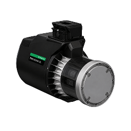
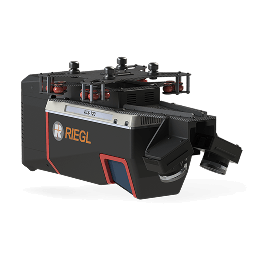
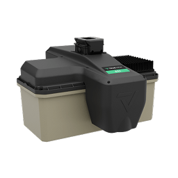
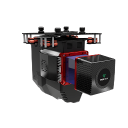
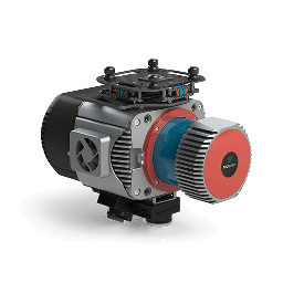
GeoCue offers one of the broadest portfolios of secure TrueView aerial LiDAR solutions. From lightweight and accessible LiDAR payloads to advanced engineering-grade mapping systems, there is a Supply Chain Secured TrueView solution designed to meet your requirements.
One Trusted Workflow: TrueView + LP360
GeoCue is uniquely positioned to support both sides of the LiDAR workflow.
TrueView provides the technology to collect your data.
LP360 provides the software to process, visualize, classify and deliver it.
Together, they create an integrated workflow that keeps your organization in control from the moment data is collected through the creation of your final deliverables.
Collect. Process. Classify. Deliver.